Other GEBCO downloads
GEBCO Global Grids
If you need the full global GEBCO grid and Type Identifier (TID) grid, you can download them as single netCDF files, or single downloads containing a set of eight 90 x 90 degree tiles, in either GeoTIFF or Esri ASCII format from GEBCO's web site: https://www.gebco.net/data-products/gridded-bathymetry-data#global
GEBCO's gridded data sets can also be accessed via OPeNDAP, allowing direct access to the data sets through a number of applications. See GEBCO's web site for more information: https://www.gebco.net/data-products/gridded-bathymetry-data#opendap
GEBCO's grids are also available as web Map Services (WMS): https://www.gebco.net/data-products/gebco-web-services/web-map-service
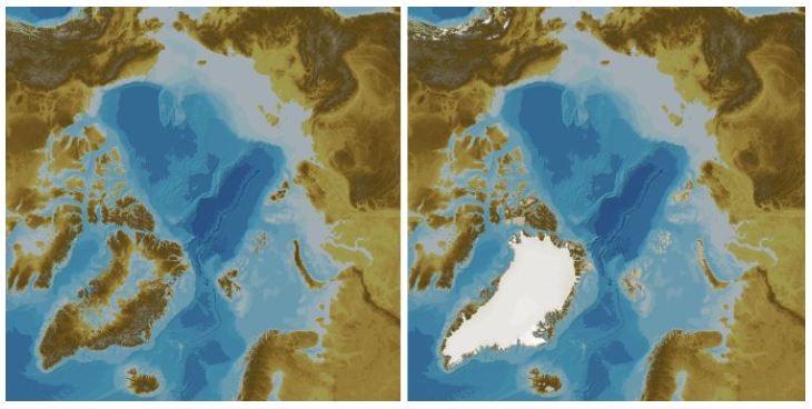
International Bathymetric Chart of the Arctic Ocean (IBCAO)
Access the latest version of the IBCAO from GEBCO's web site: https://www.gebco.net/data-products/gridded-bathymetry-data/arctic-ocean.
The goal of the IBCAO initiative is to develop a digital data base that contains all available bathymetric data north of 64° North, for use by mapmakers, researchers, institutions, and others whose work requires a detailed and accurate knowledge of the depth and the shape of the Arctic seabed. The IBCAO data set is included, as a regional compilation, in the global GEBCO grid.
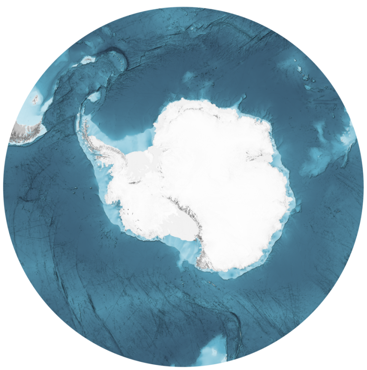
International Bathymetric Chart of the Southern Ocean (IBCSO)
The IBCSO is the authoritative map of the Southern Ocean. It is based on billions of soundings contributed by organisations across the globe.
Find out how to access the IBCSO data sets.